<--- Back to Details
| First Page | Document Content | |
|---|---|---|
 Date: 2014-09-16 19:37:15Famine Early Warning Systems Network Famines Normalized Difference Vegetation Index Nile Jonglei Melut County Sudan Geography of Africa Africa Geography |
Add to Reading List |
 | GeoIP/Geography Detection Fastly is built from Varnish, an open source web accelerator that’s designed for high-performance content delivery. Varnish allows you to accelerate dynamic content while serving more contentDocID: 1xU21 - View Document |
PDF DocumentDocID: 1xR85 - View Document | |
PDF DocumentDocID: 1xOHV - View Document | |
PDF DocumentDocID: 1xGoO - View Document | |
PDF DocumentDocID: 1xvor - View Document |
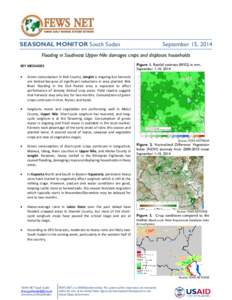
 SEASONAL MONITOR South Sudan September 15, 2014 Flooding in Southeast Upper Nile damages crops and displaces households Figure 1. Rainfall estimate (RFE2) in mm,