<--- Back to Details
| First Page | Document Content | |
|---|---|---|
 Date: 2014-11-05 23:43:39Geography of Australia Girringun National Park Blencoe Falls Hinchinbrook Island Protected areas of Queensland Murray Falls Herbert River Goold Island National Park Far North Queensland Geography of Queensland States and territories of Australia |
Add to Reading List |
 | 14 CARDWELL BY THE SEA Lovely Cardwell, settled beside some of Australia’s most amazing sceneryDocID: 18KWk - View Document |
 | SOUTHERN SEA VENTURES AUSTRALIA HINCHINBROOK ISLAND & THE CORAL SEA SEVEN DAY TRIP WITH SEVEN DAYS SEA KAYAKING Hinchinbrook Island, Goold Island and the Family Islands are continental islands located off the tropical coDocID: 153yz - View Document |
 | Brook islands national park and Goold island national parkDocID: 14XB2 - View Document |
 | Goold Island National Park mapDocID: 142rm - View Document |
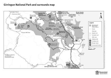
 | Girringun National Park and surrounds mapDocID: 11ipP - View Document |
 Girringun National Park and surrounds map