<--- Back to Details
| First Page | Document Content | |
|---|---|---|
 Date: 2016-01-21 04:55:15Hydrography Geography Physical geography Cartography International Hydrographic Organization United Kingdom Hydrographic Office Teledyne CARIS Hydrographic survey Taunton S57 Nautical chart |
Add to Reading List |
 | Document E_3 International Hydrographic Organization (IHO) 1. The International Hydrographic Organization (IHO) is an intergovernmental consultative and technical organization.DocID: 1ssgD - View Document |
 | Microsoft Word - E-C20Implementation Adoption of Standards Report.docDocID: 1rsXF - View Document |
 | IHB File No. S1/6000/X-5 CONFERENCE CIRCULAR LETTER NoSeptember 2014 FIFTH EXTRAORDINARY INTERNATIONAL HYDROGRAPHIC CONFERENCE Monaco, 6-10 October 2014DocID: 1rqkO - View Document |
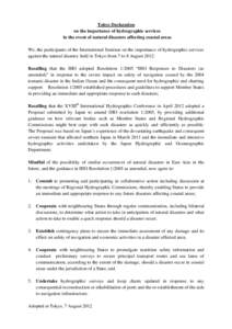 | 大規模自然災害時における海洋情報業務の重要性に関するDocID: 1rq3E - View Document |
 | United States of America National Section of the Pan American Institute of Geography and HistoryDocID: 1rhIR - View Document |
 IHB File N° TA-006-S1CIRCULAR LETTERJanuaryIHO - NIPPON FOUNDATION CHART PROJECT