<--- Back to Details
| First Page | Document Content | |
|---|---|---|
 Date: 2015-05-28 09:40:24Peel South Dandalup River North Dandalup Western Australia Banksiadale Western Australia Halls Head Western Australia Mandurah South Yunderup Western Australia Preston Beach Western Australia Furnissdale Western Australia Geography of Western Australia Regions of Western Australia Geography of Australia |
Add to Reading List |
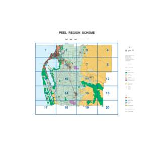
 | PEEL REGION SCHEMEDocID: 18Akn - View Document |
 | COMMONWEALTH ELECTORAL DIVISION OF WA CANNING Armadale LGA CANNING MILLS RDDocID: Y5e4 - View Document |
![PEEL REGION SCHEME[removed] PEEL REGION SCHEME[removed]](https://www.pdfsearch.io/img/a8bdb027fb6d6781e8ebdaae1ec4fee2.jpg) | PEEL REGION SCHEME[removed]DocID: XMaF - View Document |
Z:�jects����wth Monitor�Peelsector_A3.dgnDocID: XHQf - View Document | |
 | Z:�jects����wth Monitor�th MonitorApril2010�Peelsector_A3.dgnDocID: XxO6 - View Document |
 PEEL REGION SCHEME