<--- Back to Details
| First Page | Document Content | |
|---|---|---|
 Date: 2012-12-10 13:30:45Anglo-Scottish border Chew Green Alwinton Redesdale Dere Street Bremenium Cheviot Hills Northumberland National Park Northumberland Geography of England Geography of the United Kingdom |
Add to Reading List |
 | Northumberland National Park Mountain Rescue Team Gift Aid Declaration Affiliated to the Mountain Rescue Council of England and Wales. A Member of the North East Search and Rescue Association Registered Charity Number 5DocID: 1cQBJ - View Document |
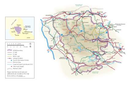
 | NORTHUMBERLAND NATIONAL PARK Haltwhistle GreenheadDocID: 12GCj - View Document |
 | Public Access Information Nature Conservation on OTA is managed through the ILMP. A great deal of time and resource is being spent to protect and enhance habitats and species acrossDocID: LuNV - View Document |
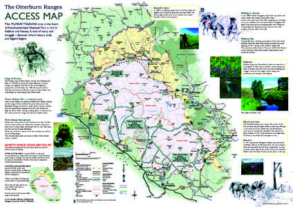
 | The Otterburn Ranges ACCESS MAP Russell’s CairnDocID: Lo2W - View Document |
![Open OpenAccessAWK[removed] Open OpenAccessAWK[removed]](https://www.pdfsearch.io/img/107ea4217b3d8ecf148e528b355f1ced.jpg) | Open OpenAccessAWK[removed]DocID: Ljbj - View Document |
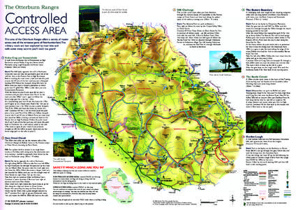
 Controlled The Otterburn Ranges The Roman road of Dere Street is part of a fine route for cyclists.