<--- Back to Details
| First Page | Document Content | |
|---|---|---|
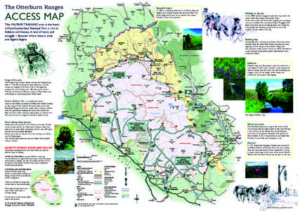
 Date: 2012-12-10 13:30:45Cheviot Hills Otterburn Training Area Alwinton Chew Green Windy Gyle Northumberland National Park River Coquet Redesdale The Cheviot Geography of England Geography of the United Kingdom Mountains and hills of England |
Add to Reading List |
 | 20 Newsletter Junefor website.pubDocID: 18Uyp - View Document |
 | 26 Bridge Connection Decemberfor website.pubDocID: 18TuI - View Document |
 | 8Newsletter Aprilfor website.pubDocID: 18Nbz - View Document |
 | Community Newspaper for the Mia Mia-Redesdale Region Incorporating Barfold, Baynton, Derrinal, Elphinstone, Glenhope, Heathcote, Langley, M etcalfe Sidonia, and Sutton Grange. Lone Eucalyptus Viminalis (Manna Gum) on theDocID: 18J3N - View Document |
 | REDESDALE-MIA MIA PRIMARY SCHOOL Newsletter No. 33 FROM THE ACTING PRINCIPAL October 22nd, 2014DocID: 18CV6 - View Document |
 The Otterburn Ranges ACCESS MAP Russell’s Cairn