<--- Back to Details
First PageDocument Content
National Oceanic and Atmospheric Administration / Earth / Joint Polar Satellite System / Unmanned spacecraft / Economy of the United States / Suomi NPP / National Environmental Satellite /  Data /  and Information Service / Visible Infrared Imaging Radiometer Suite / SDR / Ocean color / Raytheon
Date: 2016-07-25 13:01:49
National Oceanic and Atmospheric Administration
Earth
Joint Polar Satellite System
Unmanned spacecraft
Economy of the United States
Suomi NPP
National Environmental Satellite
Data
and Information Service
Visible Infrared Imaging Radiometer Suite
SDR
Ocean color
Raytheon

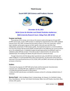
Third Circular Suomi NPP SDR Science and Products Review December 18-20, 2013 NOAA Center for Weather and Climate Prediction Auditorium 5830 University Research Court, College Park, MD 20740
Add to Reading List

Source URL: ncc.nesdis.noaa.gov

Download Document from Source Website

File Size: 550,25 KB

Share Document on Facebook

Similar Documents

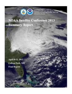
U.S. Department of Commerce National Oceanic and Atmospheric Administration National Environmental Satellite, Data, and Information Service  April 8-12, 2013

U.S. Department of Commerce National Oceanic and Atmospheric Administration National Environmental Satellite, Data, and Information Service April 8-12, 2013

DocID: 1usra - View Document

STATEMENT OF WORK FOR TASK ORDER 001 Administrative Support Services for the Department of Commerce, National Oceanic and Atmospheric Administration (NOAA), National Environmental Satellite Data and Information Service (

STATEMENT OF WORK FOR TASK ORDER 001 Administrative Support Services for the Department of Commerce, National Oceanic and Atmospheric Administration (NOAA), National Environmental Satellite Data and Information Service (

DocID: 1tUWp - View Document

Photo: D. McGuirk  NOAA Satellite and Information Service | National Centers for Environmental Information Driving Directions to NOAA’s National Centers for Environmental Information

Photo: D. McGuirk NOAA Satellite and Information Service | National Centers for Environmental Information Driving Directions to NOAA’s National Centers for Environmental Information

DocID: 1tUSH - View Document

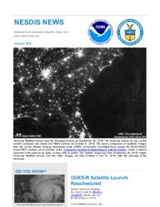
NESDIS NEWS National Environmental Satellite, Data, and Information Service OctoberHurricane Matthew formed near the Windward Islands on September 28, 2016. The hurricane worked its way up the

NESDIS NEWS National Environmental Satellite, Data, and Information Service OctoberHurricane Matthew formed near the Windward Islands on September 28, 2016. The hurricane worked its way up the

DocID: 1tImI - View Document

NOAA’s National Environmental Satellite, Data, and Information Service  The nation’s operational weather satellite and information service NOAA’s National Environmental Satellite, Data, and Information Service (NES

NOAA’s National Environmental Satellite, Data, and Information Service The nation’s operational weather satellite and information service NOAA’s National Environmental Satellite, Data, and Information Service (NES

DocID: 1tET4 - View Document