<--- Back to Details
| First Page | Document Content | |
|---|---|---|
 Date: 2013-09-07 23:22:29Data Computing Information Geographic data and information Geotagging Gazetteer Geotagged photograph Geographic information retrieval Cluster analysis Geocoding Tag Flickr |
Add to Reading List |
 | Geotagging IP Packets for Location-Aware Software-Defined Networking in the Presence of Virtual Network FunctionsDocID: 1ugUF - View Document |
 | Geotagging IP Packets for Location-Aware Software-Defined Networking in the Presence of Virtual Network FunctionsDocID: 1tLi6 - View Document |
 | Trusted Platform BIOS Geotagging Hypervisor Protection VM Platform ProtectionDocID: 1sl8X - View Document |
 | Bottom-Up Gazetteers: Learning from the Implicit Semantics of Geotags Carsten Keßler, Patrick Mau´e, Jan Torben Heuer and Thomas Bartoschek Institute for Geoinformatics, University of M¨ unster, Germany carsten.kessleDocID: 1r4Qy - View Document |
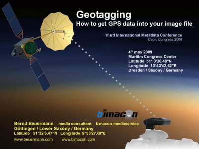
 | Geotagging How to get GPS data into your image file Third International Metadata Conference Cepic Congress4th may 2009DocID: 1r0A0 - View Document |
 Bottom-Up Gazetteers: Learning from the Implicit Semantics of Geotags Carsten Keßler, Patrick Mau´e, Jan Torben Heuer and Thomas Bartoschek Institute for Geoinformatics, University of M¨ unster, Germany carsten.kessle