<--- Back to Details
| First Page | Document Content | |
|---|---|---|
 Date: 2008-08-29 23:32:29Geography Geographic information systems Cartography Physical geography Digital elevation model Grid Polygon Data Computer graphics MEMO Model Terrain GIS file formats |
Add to Reading List |
 | Points in Polygon Analysis QGIS Tutorials and Tips Author Ujaval GandhiDocID: 1v0cM - View Document |
 | Vector network background abstract polygon triangle.DocID: 1ur8i - View Document |
 | Fitting Smooth Surfaces to Dense Polygon Meshes Venkat Krishnamurthy Marc Levoy Computer Science Department Stanford UniversityDocID: 1un0t - View Document |
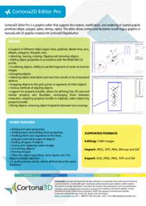
 | Cortona2D Editor Pro Cortona2D Editor Pro is a graphics editor that supports the creation, modification, and rendering of layered graphic primitives (ellipse, polygon, spline, bitmap, raster). This editor allows authorsDocID: 1um0c - View Document |
 | Points in Polygon Analysis QGIS Tutorials and Tips Author Ujaval GandhiDocID: 1tRJi - View Document |
 A UNIFIED SYSTEM FOR TERRAIN ANALYSIS AND MAPPING FROM DEM AND DTM Professor Stanley H. Collins School of Engineering, University of Guelph