<--- Back to Details
| First Page | Document Content | |
|---|---|---|
 Date: 2012-02-24 11:04:27Kingston Ontario Cataraqui River Little Cataraqui Creek Cataraqui Wolfe Island Lake Ontario Great Lakes Geography of Ontario Geography of Canada |
Add to Reading List |
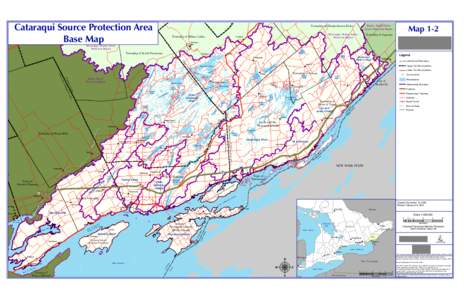
 | Cataraqui Source Protection Area Base Map Township of Rideau Lakes PortlandDocID: QAaG - View Document |
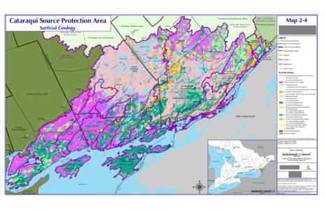
 | Cataraqui Source Protection Area Township of Elizabethtown Kitley Surficial GeologyDocID: QyRt - View Document |
 | Microsoft Word - Cat APAR Vol 1.docxDocID: Qxzm - View Document |
Cataraqui Source Protection Area Township of Elizabethtown Kitley Bedrock GeologyDocID: Qxxn - View Document | |
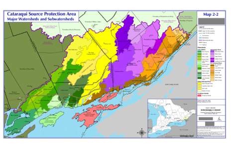
 | Cataraqui Source Protection Area Major Watersheds and Subwatersheds Township of Elizabethtown Kitley Township of Rideau LakesDocID: Qtf9 - View Document |
 Cataraqui Source Protection Area Schedule H Point Pleasant & Kingston Central Intake Protection Zones