<--- Back to Details
| First Page | Document Content | |
|---|---|---|
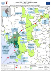 Date: 2011-06-17 04:59:26Cyclone Giri Sidoktaya Minbya Ponnagyun Budalin Geography of Burma Geography of Asia Kyaukpyu |
Add to Reading List |
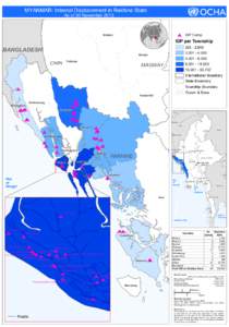 | MYANMAR: Internal Displacement in Rakhine State As of 30 November 2013 Tilin IDP CampDocID: UfIV - View Document |
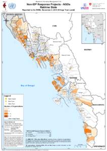 | Myanmar Information Management Unit Non-IDP Response Projects - NGOs Rakhine State Reported to the MIMU, November 3, 2014 (Village Tract Level)DocID: MWfd - View Document |
 | Myanmar Information Management Unit Cyclone GIRI - "Who is Assessing Where" As of 28 October 2010 NB. This Map will be updated as the MIMU receives more information. Please send inputs to [removed] HtantlangDocID: 9947 - View Document |
 | PDF DocumentDocID: JNC - View Document |
 | PDF DocumentDocID: yMM - View Document |
 Myanmar Information Management Unit Cyclone GIRI - "Who is Assessing Where" As of 28 October 2010 NB. This Map will be updated as the MIMU receives more information. Please send inputs to [removed] Htantlang