<--- Back to Details
First PageDocument Content
Port Wakefield Road / Wakefield / City of Salisbury / Globe Derby Park / Waterloo Corner /  South Australia / Port Wakefield /  South Australia / Northern Expressway / Salisbury Highway / St Kilda Road /  Melbourne / States and territories of Australia / Australian highways / South Australia
Date: 2008-03-16 20:21:32
Port Wakefield Road
Wakefield
City of Salisbury
Globe Derby Park
Waterloo Corner
South Australia
Port Wakefield
South Australia
Northern Expressway
Salisbury Highway
St Kilda Road
Melbourne
States and territories of Australia
Australian highways
South Australia

Microsoft Word - Part E, Rev 1.doc

Add to Reading List

Source URL: www.infrastructure.sa.gov.au

Download Document from Source Website

File Size: 383,65 KB

Share Document on Facebook

Similar Documents

Economic and Demographic Trends Relevant to the West Lake Corridor Expansion A Report to the Northern Indiana Commuter Transportation District

Economic and Demographic Trends Relevant to the West Lake Corridor Expansion A Report to the Northern Indiana Commuter Transportation District

DocID: 1oBqd - View Document

200 BROADHOLLOW ROAD MELVILLE, NEW YORK 200 BROADHOLLOW ROAD Located between the Long Island Expressway at Exit 49, and the Northern State Parkway, Exit 40, 200 Broadhollow Road

200 BROADHOLLOW ROAD MELVILLE, NEW YORK 200 BROADHOLLOW ROAD Located between the Long Island Expressway at Exit 49, and the Northern State Parkway, Exit 40, 200 Broadhollow Road

DocID: 1g0jw - View Document

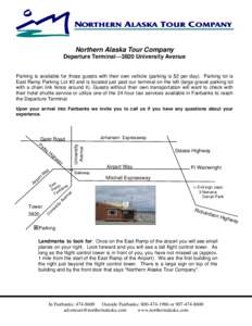
Terminal Map - Northern Alaska Tour Company

Terminal Map - Northern Alaska Tour Company

DocID: 18W84 - View Document

Transport  Progress to Date The 2005 Strategic Infrastructure Plan for South Australia provided the springboard for a coordinated longterm approach to the planning and provision of transport infrastructure throughout the

Transport Progress to Date The 2005 Strategic Infrastructure Plan for South Australia provided the springboard for a coordinated longterm approach to the planning and provision of transport infrastructure throughout the

DocID: 17Hts - View Document

Whangamarino Redoubt Track (Map 032) Northern Start Skeet Rd, Mercer. Note: Skeet Rd is the 2nd on your right, parallel to SH1 (on the hill opposite the Service Centre, on the east side) and runs south from Koheroa Rd. I

Whangamarino Redoubt Track (Map 032) Northern Start Skeet Rd, Mercer. Note: Skeet Rd is the 2nd on your right, parallel to SH1 (on the hill opposite the Service Centre, on the east side) and runs south from Koheroa Rd. I

DocID: 177ZX - View Document