<--- Back to Details
| First Page | Document Content | |
|---|---|---|
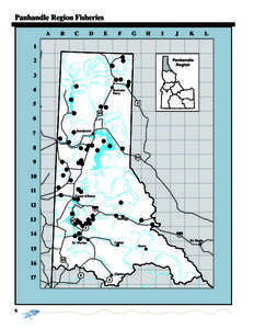 Date: 2013-03-14 18:16:31Geography of British Columbia Regional District of Central Kootenay Regional District of East Kootenay Lake Pend Oreille Sandpoint Idaho Kootenay River Priest Lake Pend Oreille River Trout Geography of the United States Idaho Idaho Panhandle National Forest |
Add to Reading List |
 | Case: , , ID: , DktEntry: 56-1, Page 1 of 12 FOR PUBLICATION UNITED STATES COURT OF APPEALS FOR THE NINTH CIRCUITDocID: 1rcFh - View Document |
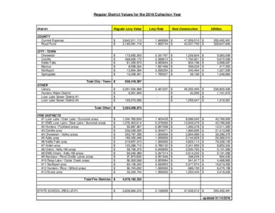 | 2016 LEVY SHEET for web.xlsxDocID: 1pruR - View Document |
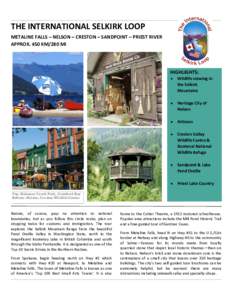 | THE INTERNATIONAL SELKIRK LOOP METALINE FALLS – NELSON – CRESTON – SANDPOINT – PRIEST RIVER APPROX. 450 KM/280 MI HIGHLIGHTS: DocID: 1oCzS - View Document |
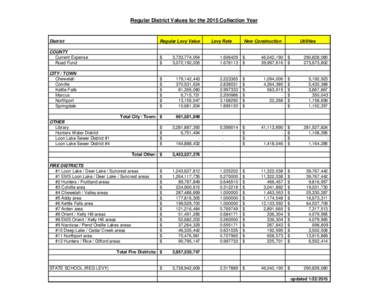 | Regular District Values for the 2015 Collection Year District Regular Levy ValueDocID: 1a3x4 - View Document |
 | Montana DEQ - Rock Creek Supplemental Draft EIS SummaryDocID: RQVH - View Document |
 Panhandle Region Fisheries A C B