<--- Back to Details
| First Page | Document Content | |
|---|---|---|
 Date: 2012-04-15 22:54:34Brooks Range Geography of the United States Economy of Alaska Prudhoe Bay Alaska ConocoPhillips Alaska Prudhoe Colville River Kuparuk Geography of Alaska Alaska BP |
Add to Reading List |
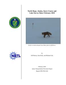 | Lake Survey Data for the Coastal Plain from Prudhoe Bay to Bullen Point:DocID: 1rTz6 - View Document |
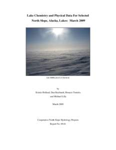 | Lake Survey Data for the Coastal Plain from Prudhoe Bay to Bullen Point:DocID: 1rPwf - View Document |
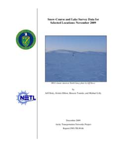 | Lake Survey Data for the Coastal Plain from Prudhoe Bay to Bullen Point:DocID: 1rBK6 - View Document |
 | Pacific States/British Columbia Oil Spill Task Force Summary of West Coast Oil Spill Data Calendar Year 2015DocID: 1rm1M - View Document |
 | Lake Survey Data for the Coastal Plain from Prudhoe Bay to Bullen Point:DocID: 1qLZp - View Document |
 Approved Permits[removed]to Permit: [removed]Well: NIKAITCHUQ OP26-DSP02