<--- Back to Details
| First Page | Document Content | |
|---|---|---|
 Date: 2011-03-07 03:25:57Qaqortoq Narsaq Tunulliarfik Fjord Qassiarsuk Greenland Nanortalik Narsarsuaq Alluitsup Paa Igaliku Geography of Greenland Political geography Geography |
Add to Reading List |
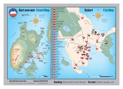
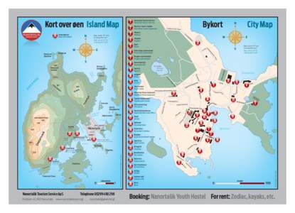
 | 1 Nanortalik Tourism Service Nanortalik Tourism Service 2DocID: 1ggva - View Document |
 | PDF DocumentDocID: 1fKDn - View Document |
 | 1 Nanortalik Tourism Service Nanortalik Tourism Service 2DocID: 1epB0 - View Document |
 | Nanortallip Katersugaasivia/Nanortalik Museum Ualeq tissinartilersaarneq Muntre fortællinger Arfininngorneq/Lørdag 18. april 15:00-17:00DocID: 1eiKg - View Document |
 | The Nalunaq gold prospect, South Greenland: test mining for feasibility studies Mogens Lind, Lotte Kludt and Brian Ballou The Nalunaq narrow-vein gold prospect is situated 40 km north-east of Nanortalik, the southernmostDocID: 1dUNH - View Document |
 South Greenland Cruise Nanortalik