<--- Back to Details
| First Page | Document Content | |
|---|---|---|
 Date: 2013-12-06 18:56:38Technology LIDAR Robotic sensing Photogrammetry Laser rangefinder Remote sensing ICESat American Society for Photogrammetry and Remote Sensing Spacecraft Cartography Earth |
Add to Reading List |
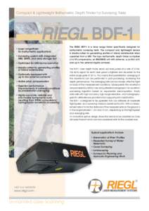 | Compact & Lightweight Bathymetric Depth Finder for Surveying Tasks RIEGL BDF-1 • Laser rangefinder for bathymetric applications • Surveying system with integratedDocID: 1tR81 - View Document |
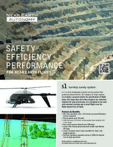 | SAFETY EFFICIENCY PERFORMANCE FOR NEAR EARTH FLIGHT s1 turnkey survey systemDocID: 1rtfe - View Document |
 | Sixth Framework ProgrammeMEASURING TREE HEIGHT FOR TROPICAL FOREST TREES A FIELD MANUALDocID: 1qR3G - View Document |
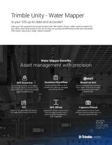 | Trimble Unity - Water Mapper Is your GIS up-to-date and accurate? Does your GIS represent the actual location and information of your water network assets? Do your field crews have access to the GIS so they can quickly aDocID: 1pNRr - View Document |
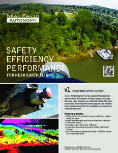 | SAFETY EFFICIENCY PERFORMANCE FOR NEAR EARTH FLIGHT v1 integrated survey systemDocID: 1pAlO - View Document |
 Looking Above the Terrain: Assessing Vegetation with Lidar Data from Ground-based, Airborne, and Satellite Sensors