<--- Back to Details
| First Page | Document Content | |
|---|---|---|
 Date: 2003-11-17 11:03:00Chalk heath Habitats Land management Landforms North Downs Mole Gap to Reigate Escarpment River Mole Downland Windsor Hill SSSI Counties of England Geography of England Mountains and hills of England |
 | Model Criteria and Implementation Plans for a State-Level "Important Herp Areas" SystemDocID: 1pAdK - View Document |
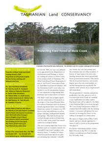
 | part Protecting Karst Forest at Mole Creek A sinkhole in flood and the same sinkhole dry - the sinkhole is part of a complex underground river systemDocID: 18W5H - View Document |
 | Width depth ratio >12 Pool-7 Riffle-8DocID: 167jN - View Document |
 | TENTERFIELD SHIRE COUNCIL @sn¿lMÍnrutîtfunilpttet otilqrrtf 2Ol I From the Office of the Mayor work with the Member for New England, Mr TonyDocID: W13w - View Document |
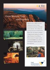
 | 4 day Itinerary Great Western Tiers and EvandaleDocID: VqtY - View Document |
