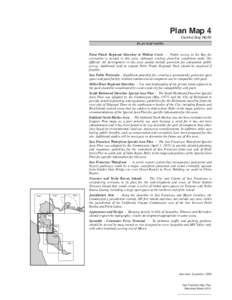
 Date: 2012-09-15 12:21:09Geography of California California San Francisco Bay East Bay Regional Park District San Pablo Bay Geography of Richmond California Richardson Bay San Francisco Marin County California Point Pinole Regional Shoreline Brooks Island Marin Islands | |  Plan Map 4 Central Bay North PLAN MAP NOTES Point Pinole Regional Shoreline to Wildcat Creek - Public access to the Bay for Plan Map 4 Central Bay North PLAN MAP NOTES Point Pinole Regional Shoreline to Wildcat Creek - Public access to the Bay for
Add to Reading ListSource URL: www.bcdc.ca.govDownload Document from Source Website File Size: 2,07 MBShare Document on Facebook
|




 Plan Map 4 Central Bay North PLAN MAP NOTES Point Pinole Regional Shoreline to Wildcat Creek - Public access to the Bay for