<--- Back to Details
| First Page | Document Content | |
|---|---|---|
 Date: 2010-12-02 12:09:26Water Colorado Plateau Soil physics Aquifers San Rafael Reef Waterpocket Fold Navajo people Henry Mountains Navajo Nation Hydrology Utah Geography of the United States |
Add to Reading List |
 | National Park Service U.S. Department of the Interior Natural Resource Program Center Capitol Reef National ParkDocID: 1qi0B - View Document |
 | INFILTRATION TO THE NAVAJO SANDSTONE IN THE LOWER DIRTY DEVIL RIVER BASIN, UTAH, WITH EMPHASIS ON TECHNIQUES USED IN ITS DETERMINATION By T. W. Daniel son and J. W. Hood U.S. GEOLOGICAL SURVEYDocID: NtBJ - View Document |
 | PDF DocumentDocID: LS5n - View Document |
 | CAREmap larger in progressDocID: IfFj - View Document |
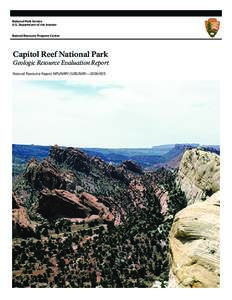
 | Capitol Reef National Park Service U.S. Department of the Interior Capitol Reef National ParkDocID: IeG4 - View Document |
 INFILTRATION TO THE NAVAJO SANDSTONE IN THE LOWER DIRTY DEVIL RIVER BASIN, UTAH, WITH EMPHASIS ON TECHNIQUES USED IN ITS DETERMINATION By T. W. Daniel son and J. W. Hood U.S. GEOLOGICAL SURVEY