<--- Back to Details
| First Page | Document Content | |
|---|---|---|
 Date: 2006-07-27 12:36:47Mexico–United States border Rio Grande Amistad Reservoir Amistad National Recreation Area Seminole Canyon State Park and Historic Site Devils River Val Verde County Texas La Amistad Del Rio Texas Geography of Texas Texas Geography of the United States |
Add to Reading List |
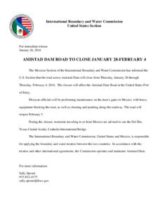 | Microsoft Word - DamRoadClosingbyCILADraftADocID: 1r4C9 - View Document |
 | Microsoft PowerPoint - 5YrCycleLRGCFNov12DraftBDocID: 1r3Qe - View Document |
 | INTERNATIONAL BOUNDARY AND WATER COMMISSION COMISIÓN INTERNACIONAL DE LÍMITES Y AGUAS Status Update on Mexico’s FiveYear Cycle Rio Grande Water Deliveries to the United States Lower Rio Grande Citizens ForumDocID: 1otqG - View Document |
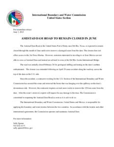 | Microsoft Word - DamRoadClosureinJuneVBupdatingReleaseDateDocID: 1fEe6 - View Document |
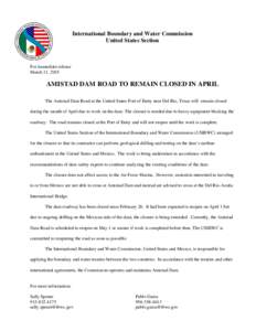 | Microsoft Word - DamRoadClosureExtendedthruAprilDraftADocID: 13POA - View Document |
 Park News The High Bridge Tribune