Shapefile

Results: 1236


#Item
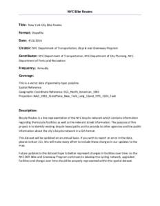
61NYC Bike Routes Title: New York City Bike Routes Format: Shapefile Date: Creator: NYC Department of Transportation, Bicycle and Greenway Program Contributor: NYC Department of Transportation, NYC Department of

NYC Bike Routes Title: New York City Bike Routes Format: Shapefile Date: Creator: NYC Department of Transportation, Bicycle and Greenway Program Contributor: NYC Department of Transportation, NYC Department of

Add to Reading List

Source URL: www.nyc.gov

Language: English - Date: 2016-04-22 11:05:06
    62Calculating Line Lengths and Statistics QGIS Tutorials and Tips Author  Ujaval Gandhi

    Calculating Line Lengths and Statistics QGIS Tutorials and Tips Author Ujaval Gandhi

    Add to Reading List

    Source URL: www.qgistutorials.com

    Language: English - Date: 2016-05-13 02:10:34
    63WMS Benchmarking  Cadcorp GeognoSIS, Contellation-SDI, ERDAS APOLLO, GeoServer, Mapnik, MapServer, Oracle MapViewer, QGIS MapServer

    WMS Benchmarking Cadcorp GeognoSIS, Contellation-SDI, ERDAS APOLLO, GeoServer, Mapnik, MapServer, Oracle MapViewer, QGIS MapServer

    Add to Reading List

    Source URL: 2010.foss4g.org

    Language: English - Date: 2010-10-14 12:53:20
    64Processing Biomass Inventory Point data in ArcGIS  1) Process an inventory point shapefile table to create a file with only lat, long, and biomass value

    Processing Biomass Inventory Point data in ArcGIS 1) Process an inventory point shapefile table to create a file with only lat, long, and biomass value

    Add to Reading List

    Source URL: www.gcftaskforce.org

    Language: English - Date: 2012-08-20 10:32:33
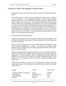
      65Supplement D - Application alpha version creation procedures

      Supplement D - Application alpha version creation procedures

      Add to Reading List

      Source URL: www.ncdot.gov

      Language: English - Date: 2013-06-13 14:26:23
      66Hydrographic Data Management using GIS Technologies

      Hydrographic Data Management using GIS Technologies

      Add to Reading List

      Source URL: dusk.geo.orst.edu

      Language: English - Date: 2002-07-20 03:36:30
      67Earth / ArcGIS / Esri / ArcSDE / Geographic information system / Geodatabase / ArcView / ArcMap / Shapefile / GIS software / Science / Computing

      13 Meeting Notes Marine Data Model Workshop #2 June 7-8, ESRI Redlands

      Add to Reading List

      Source URL: dusk.geo.orst.edu

      Language: English - Date: 2002-06-28 07:29:45
      68Traffic Survey Group Transportation Planning Branch NCDOT 2013 AADT Volume Groups Segments Shapefile The 2013 AADT Volume Group Segment Shapefile is a segment shapefile of Annual Average Daily Traffic (AADT). This data r

      Traffic Survey Group Transportation Planning Branch NCDOT 2013 AADT Volume Groups Segments Shapefile The 2013 AADT Volume Group Segment Shapefile is a segment shapefile of Annual Average Daily Traffic (AADT). This data r

      Add to Reading List

      Source URL: www.ncdot.gov

      Language: English - Date: 2014-08-04 14:53:07
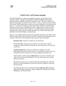
      69Traffic Survey Group Transportation Planning Branch NCDOT 2013 AADT Stations Shapefile The AADT shapefile is a station point shapefile of Annual Average Daily Traffic (AADT) estimates. This data was submitted to FHWA for

      Traffic Survey Group Transportation Planning Branch NCDOT 2013 AADT Stations Shapefile The AADT shapefile is a station point shapefile of Annual Average Daily Traffic (AADT) estimates. This data was submitted to FHWA for

      Add to Reading List

      Source URL: www.ncdot.gov

      Language: English - Date: 2014-07-31 13:41:35