<--- Back to Details
| First Page | Document Content | |
|---|---|---|
 Date: 2013-04-03 10:51:11McCloud River Lake McCloud Shasta Lake Pit River Shasta-Trinity National Forest Geography of California Northern California |
Add to Reading List |
 | COMMENTS Draft Environmental Impact Statement McCloud – Pit Hydroelectric Project (FERC NoPApplicant: Pacific Gas & Electric CompanyDocID: 1pHNN - View Document |
 | Microsoft Word - 97096repdocDocID: 1pyw4 - View Document |
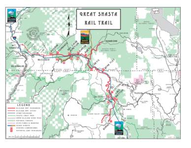 | Great Shasta EEMP copy.aiDocID: GETn - View Document |
 | Press Release March 30, 2012 For Immediate Release Shasta Land Trust (SLT) and our partners proudly announce an agreement has been signed to purchase a railroad right-of-way between McCloud (in Siskiyou County) and BurneDocID: GpUe - View Document |
 | DEIS, Hydropower License McCloud-Pit Hydroelectric Proj, Shasta Cty, CADocID: DZyH - View Document |
 Water-Data Report[removed]McCloud River above Shasta Lake, CA Sacramento River Basin LOCATION.--Lat 40°57′30″, long 122°13′07″ referenced to North American Datum of 1927, Shasta County, CA, Hydrologic Un