<--- Back to Details
First PageDocument Content
Marine mammal observer / Reflection seismology / Mechanics / JASCO Applied Sciences / Shelburne Basin Venture Exploration Drilling Project
Date: 2015-03-12 12:32:15
Marine mammal observer
Reflection seismology
Mechanics
JASCO Applied Sciences
Shelburne Basin Venture Exploration Drilling Project

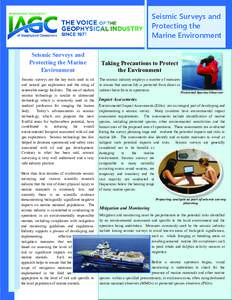
Seismic Surveys and Protecting the Marine Environment Seismic Surveys and Protecting the Marine Environment

Add to Reading List

Source URL: www.iagc.org

Download Document from Source Website

File Size: 933,79 KB

Share Document on Facebook

Similar Documents

Marine Mammal Observer – Code of Conduct etc

Marine Mammal Observer – Code of Conduct etc

DocID: 1rGc3 - View Document

Seismic Surveys and Protecting the Marine Environment Seismic Surveys and Protecting the Marine Environment

Seismic Surveys and Protecting the Marine Environment Seismic Surveys and Protecting the Marine Environment

DocID: 1rnDa - View Document

Introduction to Marine Seismic Technologies Introduction to Marine Seismic Technologies Planet Earth. If you look closer, you’ll see that a whole other world exists beneath the surface of land and sea. Layers of rock s

Introduction to Marine Seismic Technologies Introduction to Marine Seismic Technologies Planet Earth. If you look closer, you’ll see that a whole other world exists beneath the surface of land and sea. Layers of rock s

DocID: 1rmkp - View Document

IAGC Guidance on the Use of Towed Passive Acoustic Monitoring during Geophysical Operations Guidance Objectives IAGC has been an early supporter of complementary monitoring techniques to visual observations. As a member

IAGC Guidance on the Use of Towed Passive Acoustic Monitoring during Geophysical Operations Guidance Objectives IAGC has been an early supporter of complementary monitoring techniques to visual observations. As a member

DocID: 1qyzu - View Document

Seismic Surveys and Fish Seismic Surveys and Fish Marine seismic surveys are the only feasible technology available to accurately image the subsurface before a single well is drilled. Marine

Seismic Surveys and Fish Seismic Surveys and Fish Marine seismic surveys are the only feasible technology available to accurately image the subsurface before a single well is drilled. Marine

DocID: 1q5sB - View Document