<--- Back to Details
| First Page | Document Content | |
|---|---|---|
 Date: 2011-03-09 18:19:33Geography of the United States Rimrock Lake Yakima Washington Tieton Washington Interstate 82 Naches River Tieton River Yakima County Washington Washington Mount Baker-Snoqualmie National Forest |
Add to Reading List |
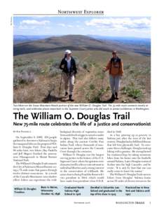
 | Ray Paolella Northwest Explorer Two hikers on the Snow Mountain Ranch portion of the new William O. Douglas Trail. The 75-mile route connects mostly existing trails, and celebrates places important to the Supreme CourtDocID: 1oPpX - View Document |
 | FOR IMMEDIATE RELEASE For more information: Betsy Bloomfield, Executive Director Cowiche Canyon Conservancy | www.cowichecanyon.org | (DocID: 1oGjg - View Document |
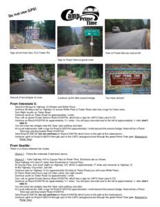
 | Written Map Directions_2011 w photosDocID: IYdX - View Document |
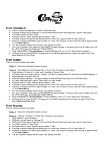
 | Written Map Directions_2011DocID: IU80 - View Document |
DOC DocumentDocID: I792 - View Document |
 Written Map Directions_2011