<--- Back to Details
First PageDocument Content
Allegheny Mountains / Youghiogheny River / Ohiopyle State Park / Indian Creek / Ohiopyle /  Pennsylvania / Great Allegheny Passage / Laurel Highlands / Laurel Hill / Whitewater / Geography of Pennsylvania / Pennsylvania / Pittsburgh metropolitan area
Date: 2009-06-04 13:25:24
Allegheny Mountains
Youghiogheny River
Ohiopyle State Park
Indian Creek
Ohiopyle
Pennsylvania
Great Allegheny Passage
Laurel Highlands
Laurel Hill
Whitewater
Geography of Pennsylvania
Pennsylvania
Pittsburgh metropolitan area

Youghiogheny River Water Trail Southern Section Confluence to South Connellsville Map & Guide
Add to Reading List

Source URL: www.fishandboat.com

Download Document from Source Website

File Size: 1,75 MB

Share Document on Facebook

Similar Documents

U.S. Department of the Interior U.S. Geological Survey Water Resources Data Pennsylvania Water Year 2002

U.S. Department of the Interior U.S. Geological Survey Water Resources Data Pennsylvania Water Year 2002

DocID: 1rmJQ - View Document

U.S. Department of the Interior U.S. Geological Survey Water Resources Data Pennsylvania Water Year 2005

U.S. Department of the Interior U.S. Geological Survey Water Resources Data Pennsylvania Water Year 2005

DocID: 1r8L8 - View Document

Scenic Rivers Background The Virginia Scenic Rivers Program was established in 1970 as a way to celebrate outstanding examples of Virginia’s more than 49,000 miles of rivers and streams. The program continues to expand

Scenic Rivers Background The Virginia Scenic Rivers Program was established in 1970 as a way to celebrate outstanding examples of Virginia’s more than 49,000 miles of rivers and streams. The program continues to expand

DocID: 1qHpK - View Document

Virginia Department of Conservation & Recreation Planning and Recreation Resources 600 East Main Street, 24th Floor Richmond, VirginiaSince the inception of the Scenic River System program in 1970, 34 river segme

Virginia Department of Conservation & Recreation Planning and Recreation Resources 600 East Main Street, 24th Floor Richmond, VirginiaSince the inception of the Scenic River System program in 1970, 34 river segme

DocID: 1qxKi - View Document

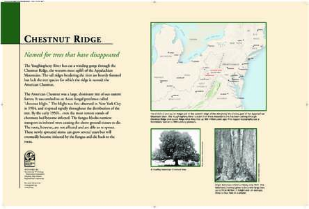
36x24ChestnutRidgeMAP:36x24TunnelingBigSavage:56 AM

36x24ChestnutRidgeMAP:36x24TunnelingBigSavage:56 AM

DocID: 1g99H - View Document