<--- Back to Details
First PageDocument Content
Satellite navigation systems / Geography / Navigation / Spaceflight / Earth orbits / Global Positioning System / Aids to navigation / Satellite navigation / Quasi-Zenith Satellite System / GLONASS / Wide Area Augmentation System / Medium Earth orbit
Date: 2013-11-20 20:27:41
Satellite navigation systems
Geography
Navigation
Spaceflight
Earth orbits
Global Positioning System
Aids to navigation
Satellite navigation
Quasi-Zenith Satellite System
GLONASS
Wide Area Augmentation System
Medium Earth orbit

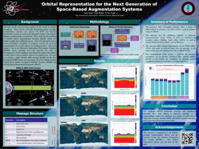
Orbital Representation for the Next Generation of Space-Based Augmentation Systems Tyler Reid, Todd Walter, & Per Enge Dept. of Aeronautics & Astronautics, Stanford University, Stanford CABackground
Add to Reading List

Source URL: scpnt.stanford.edu

Download Document from Source Website

File Size: 1,50 MB

Share Document on Facebook

Similar Documents

USER SURVEY FOR THE MISSOURI RIVER This questionnaire is your opportunity to recommend changes to improve the Aids to Navigation on the Missouri River. There are four parts to this survey. 1) Personal Information - This

USER SURVEY FOR THE MISSOURI RIVER This questionnaire is your opportunity to recommend changes to improve the Aids to Navigation on the Missouri River. There are four parts to this survey. 1) Personal Information - This

DocID: 1t8fm - View Document

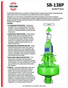
SB-138P Sentinel® Buoy The SB-138P Sentinel® buoy is a product of Tideland Signal’s continued commitment in developing new higher performance, low maintenance, cost effective marine aids to navigation. Deployed in ov

SB-138P Sentinel® Buoy The SB-138P Sentinel® buoy is a product of Tideland Signal’s continued commitment in developing new higher performance, low maintenance, cost effective marine aids to navigation. Deployed in ov

DocID: 1shoQ - View Document

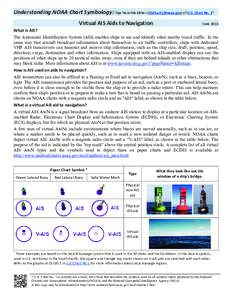
Understanding NOAA Chart Symbology: Tips from the Editor () of U.S. Chart No. 1* Virtual AIS Aids to Navigation JuneWhat is AIS?

Understanding NOAA Chart Symbology: Tips from the Editor () of U.S. Chart No. 1* Virtual AIS Aids to Navigation JuneWhat is AIS?

DocID: 1rCKc - View Document

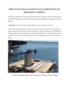
TIDE GAUGE INSTALLATION IN TANGA PORTEVOKE ARU RESEARCH CAPABILITY Tide gauge installation is one of the research infrastructure projects at Ardhi University which has been facilitated through the climate Change, Impact

TIDE GAUGE INSTALLATION IN TANGA PORTEVOKE ARU RESEARCH CAPABILITY Tide gauge installation is one of the research infrastructure projects at Ardhi University which has been facilitated through the climate Change, Impact

DocID: 1ru6M - View Document

Hydrographic Services Review Panel Public Meeting September 23-24, 2009 Duluth, Minnesota Summary Record September 23, Wednesday

Hydrographic Services Review Panel Public Meeting September 23-24, 2009 Duluth, Minnesota Summary Record September 23, Wednesday

DocID: 1rtHx - View Document