<--- Back to Details
| First Page | Document Content | |
|---|---|---|
 Date: 2009-10-26 16:17:20Measurement Cartography Geoid Physics Gravity anomaly Vertical deflection World Geodetic System Geodesy Gravimetry Geophysics |
Add to Reading List |
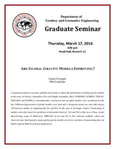 | Department of Geodesy and Geomatics Engineering Graduate Seminar Thursday, March 17, 2016 3:00 pmDocID: 1pUfW - View Document |
 | GEOS 602 – Geophysical Fields Jeff Freymueller () 413B Elvey x7286 Problem Set #5 Due Thu March 4DocID: 1puaU - View Document |
 | Supporting Information for Seismic velocity structure and anisotropy of the Alaska subduction zone based on surface wave tomography Yun Wang and Carl TapeDocID: 1piBH - View Document |
 | Type your Frontispiece or Quote Page here (if any)DocID: 1osTV - View Document |
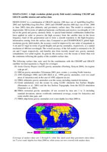 | EIGENCG01C: A high resolution global gravity field model combining CHAMP and GRACE satellite mission and surface data EIGENCG01C is a combination of GRACE mission (200 days out of April/May/DocID: 1lDw8 - View Document |
 Efforts to Monitor Geoid Change in Mexico Towards a Significant Improvement for National and Regional Geoid Solution David Avalos-Naranjo.