| Document Date: 2015-03-02 10:46:40
Open Document File Size: 1,47 MBShare Result on Facebook
Company Statoil / VSP / Baker Hughes / ConocoPhillips / / Continent Europe / / Country Svalbard and Jan Mayen / United States / / Facility Store Norske / University of Bergen / Store Norske Explaining / power station Partners Workshop UNIS / C station / / IndustryTerm microseismic monitoring network / gas/fluids / injection site / local coal mining / aquifer systems / gas/fluid escape activity / energy / / NaturalFeature Colorado Plateau / Adventdalen valley / Svalbard archipelago / / Organization UNIS CO2 Lab / SUCCESS Centre / Braathen / CO2 Lab. / University of Bergen / Geologists of the Longyearbyen CO2 / / ProvinceOrState Nebraska / Colorado / / TVStation Kapp / / Technology digital video / / |
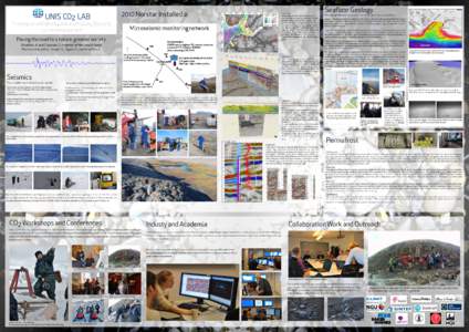
 2010 Norstar Installed a: Figure left: Detailed map of the inner Isfjorden area, illustrating the outcropping dolerites (red), the drilled boreholes (Dh2 and Dh4) and the 2D seismic database coverage (black). The seismi