<--- Back to Details
| First Page | Document Content | |
|---|---|---|
 Date: 2013-04-12 00:49:57Surveying Geography Cadastre Land information system Rangeland Western Division Boundary Central Division Real estate Geography of New South Wales Cartography |
Add to Reading List |
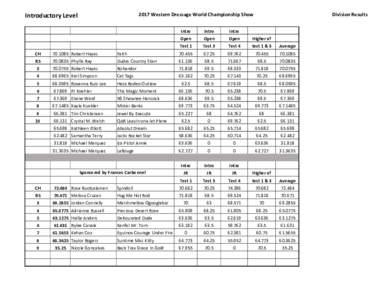
 | 2017 Western Dressage World Championship Show Introductory Level Division ResultsDocID: 1v08m - View Document |
 | ASSCT - LA Division Annual Meeting Exhibitors - By Table # Table # Company Name 1 Western States Machine CompanyDocID: 1uAOZ - View Document |
NOAA OCAO FACILITIES OPERATIONS DIVISION, BUILDINGS MANAGEMENT BRANCH WESTERN REGIONAL CENTER CAMPUS HAZARDOUS WEATHER OPERATIONS PLAN SEATTLE, WASHINGTONDocID: 1uwG1 - View Document | |
 | Location Case Western Reserve University, Mandel School of Applied Social Sciences (MSASS) MSW program Cuyahoga County Division of Children and Family ServiceDocID: 1uauL - View Document |
 | ASSCT - LA Division Annual Meeting Exhibitors - By Table # Table # Company Name 1 Western States Machine CompanyDocID: 1u81y - View Document |
 A CADASTRAL MODEL FOR LOW VALUE LANDS - THE NSW WESTERN LANDS EXPERIENCE by Paul R Harcombe