 Date: 2015-09-15 12:50:20Geography Hydrography Navigation Physical geography Aids to navigation National Oceanic and Atmospheric Administration Hydrographic survey Surveying National Ocean Service U.S. National Geodetic Survey Nautical chart NOAAS Fairweather | |  Hydrographic Services Review Panel Public Meeting September 23-24, 2009 Duluth, Minnesota Summary Record September 23, Wednesday Hydrographic Services Review Panel Public Meeting September 23-24, 2009 Duluth, Minnesota Summary Record September 23, Wednesday
Add to Reading ListSource URL: www.nauticalcharts.noaa.govDownload Document from Source Website File Size: 217,45 KBShare Document on Facebook
|


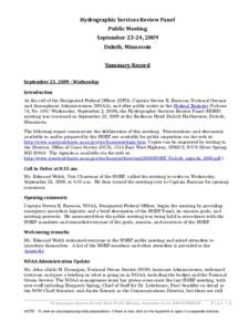
 Hydrographic Services Review Panel Public Meeting September 23-24, 2009 Duluth, Minnesota Summary Record September 23, Wednesday