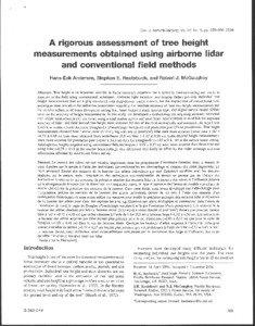
| Document Date: 2008-04-08 12:14:12
Open Document File Size: 2,47 MBShare Result on Facebook
City Biberach / Salt Lake City / Vantaa / Seattle / Centennial / Livermore / Langsele / Vaughan / Anchorage / San Jose / Jonkoping / / Company Suunto Inc. / Vertex / Topcon Positioning Systems Inc. / Optech Incorporated / Anchorage Forestry Sciences Laboratory / / Country Germany / Norway / United States / United Kingdom / Sweden / Finland / / Currency NAD / / Facility University of Washington / Pacific Northwest Research Station / / IndustryTerm least-squares solution / fiberglass / computing / software package / local survey network / / NaturalFeature Tree heights / / Organization University of Washington / US Department of Agriculture / USDA / USDA Forest Service / Remote Sensing Applications Center / / Person Stephen E. Reutebuch / Hans-Erik Andersen / using airborne lidar and conventional field methods Hans-Erik Andersen / / Position small terminal leader / aide / author / lidar contractor / mean rt / rt / / Product Falcon / Cessna Caravan / / ProvinceOrState South Dakota / Utah / Alaska / California / Colorado / Washington / Ontario / / PublishedMedium the Canadian Journal / / Region Northwest / eastern United Kingdom / western North America / / Technology laser / Remote Sensing / Laser Technology / GPS / globally convergent Newton-Raphson algorithm / /
SocialTag |

