<--- Back to Details
| First Page | Document Content | |
|---|---|---|
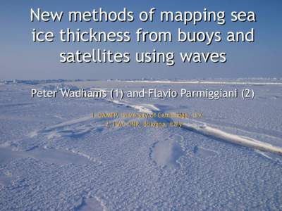 Date: 2010-12-27 22:14:09Earth Water Sea ice thickness Polar ice packs Pancake ice Peter Wadhams Buoy CryoSat Tiltmeter Physical geography Sea ice Glaciology |
Add to Reading List |
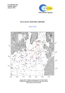 | E-SURFMAR DB Monthly Report January 2012 DATA BUOY MONTHLY REPORT January 2012DocID: 1vs6R - View Document |
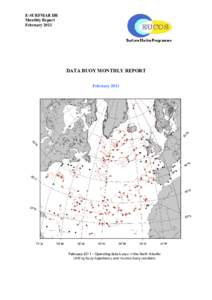 | E-SURFMAR DB Monthly Report February 2011 DATA BUOY MONTHLY REPORT February 2011DocID: 1vqJY - View Document |
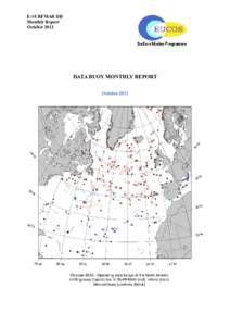 | E-SURFMAR DB Monthly Report October 2012 DATA BUOY MONTHLY REPORT October 2012DocID: 1vgzK - View Document |
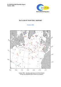 | E-SURFMAR DB Monthly Report October 2006 DATA BUOY MONTHLY REPORT October 2006DocID: 1vdKD - View Document |
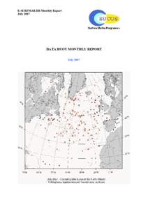 | E-SURFMAR DB Monthly Report July 2007 DATA BUOY MONTHLY REPORT July 2007DocID: 1vbHh - View Document |
 New methods of mapping sea ice thickness from buoys and satellites using waves Peter Wadhams (1) and Flavio ParmiggianiDAMTP, University of Cambridge, U.K. 2. ISAC-CNR, Bologna, Italy