<--- Back to Details
| First Page | Document Content | |
|---|---|---|
 Date: 2014-02-10 06:39:22Gaza Strip Rafah Nuseirat Deir al-Balah Gaza Bureij Jabalia Palestine refugee camps Electoral districts of the Palestinian National Authority Geography of the Gaza Strip Deir al-Balah Governorate Palestinian territories |
Add to Reading List |
 | Photo credit: UNICEF-oPt/2009/ElBaba Water, Sanitation and Hygiene Household Survey GazaDocID: UkgW - View Document |
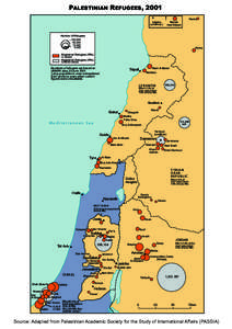
 | PALESTINIAN REFUGEES, 2001 Latakia (unofficial ) HamaDocID: S2eU - View Document |
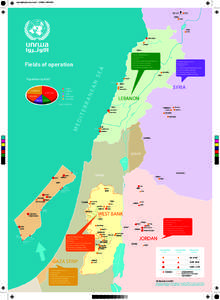
 | Map-English_july_final_printDocID: EX0D - View Document |
![map_e-Open Source[removed] map_e-Open Source[removed]](https://www.pdfsearch.io/img/1482a5dc733086c1fa8ebb0a11baa166.jpg) | map_e-Open Source[removed]DocID: yngm - View Document |
 | VOLUME 1 TABLE 6 HOUSEHOLDS AND PERSONS, BY RESIDENCE, SEX, AGE AND ORIGIN FROM ISRAEL TERRITORY AND BY LOCALITY Gaza Strip & North SinaiDocID: weAN - View Document |
 Map-English_july_final_print