<--- Back to Details
First PageDocument Content
California State Route 132 / California State Route 165 / California State Route 99 / California State Route 26 / California State Route 88 / California State Route 33 / Interstate 205 / Interstate 5 in California / California State Route 4 / Geography of California / Central Valley / San Joaquin Valley
Date: 2009-11-10 18:09:40
California State Route 132
California State Route 165
California State Route 99
California State Route 26
California State Route 88
California State Route 33
Interstate 205
Interstate 5 in California
California State Route 4
Geography of California
Central Valley
San Joaquin Valley

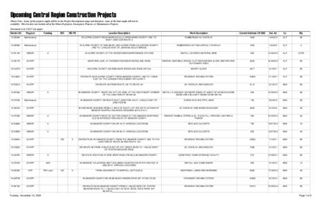
Upcoming Central Region Construction Projects Please Note: Some of the projects might still be in the Project Development stage and therefore, some of the data might still not be available. This list does not include all
Add to Reading List

Source URL: www.dot.ca.gov

Download Document from Source Website

File Size: 88,82 KB

Share Document on Facebook

Similar Documents

APPENDIX A: LOS ANGELES URBAN AREA TRANSPORTATION PRIORITIES Facility/Route/ Rank Corridor/System Urban Area / and

APPENDIX A: LOS ANGELES URBAN AREA TRANSPORTATION PRIORITIES Facility/Route/ Rank Corridor/System Urban Area / and

DocID: 1rdAi - View Document

TRIP ALABAMA REPORT APPENDIX Rank County 1  2

TRIP ALABAMA REPORT APPENDIX Rank County 1 2

DocID: 1qR5z - View Document

PROJECT GREEN LIGHT: Moving California’s Critical Transportation Improvements Forward MAY 2016

PROJECT GREEN LIGHT: Moving California’s Critical Transportation Improvements Forward MAY 2016

DocID: 1piAA - View Document

Getting to Florence Lake/Muir Trail Ranch from various places in California From San Francisco, Sacramento: Take SR 99 south to Madera. At Cleveland Ave exit, turn left and get in the right-hand lane so you can turn righ

Getting to Florence Lake/Muir Trail Ranch from various places in California From San Francisco, Sacramento: Take SR 99 south to Madera. At Cleveland Ave exit, turn left and get in the right-hand lane so you can turn righ

DocID: 1pbW2 - View Document

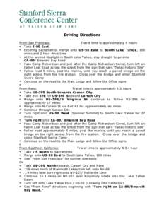
Driving Directions From San Francisco: Travel time is approximately 4 hours • Take I-80 East • Entering Sacramento, merge onto US-50 East to South Lake Tahoe, 100 miles and 2 hour drive time

Driving Directions From San Francisco: Travel time is approximately 4 hours • Take I-80 East • Entering Sacramento, merge onto US-50 East to South Lake Tahoe, 100 miles and 2 hour drive time

DocID: 1mCyt - View Document