<--- Back to Details
| First Page | Document Content | |
|---|---|---|
 Date: 2010-10-06 08:35:48Geography Knowledge Global Positioning System Navigation Iridium satellite constellation Sea surface temperature Buoy Water |
Add to Reading List |
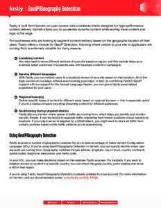
 | GeoIP/Geography Detection Fastly is built from Varnish, an open source web accelerator that’s designed for high-performance content delivery. Varnish allows you to accelerate dynamic content while serving more contentDocID: 1xU21 - View Document |
PDF DocumentDocID: 1xR85 - View Document | |
PDF DocumentDocID: 1xOHV - View Document | |
PDF DocumentDocID: 1xGoO - View Document | |
PDF DocumentDocID: 1xvor - View Document |
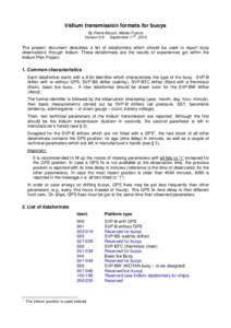
 Iridium transmission formats for buoys By Pierre Blouch, Météo-France th VersionSeptember 17 , 2010 The present document describes a list of dataformats which should be used to report buoy