<--- Back to Details
| First Page | Document Content | |
|---|---|---|
 Date: 2009-06-02 14:30:00Richmond Hill Richmond Langstaff GO Station York Region Transit York Central Hospital Markham Ontario London Borough of Richmond upon Thames Ontario Provinces and territories of Canada Richmond Hill Ontario |
Add to Reading List |
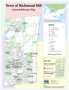
 | Town of Richmond Hill General Reference Map © 2005, DMTI Spatial, ESRI, US Census Each ring represents 500 kilometersDocID: 19nHl - View Document |
 | route navigator Vaughan Mills/Wonderland 760DocID: 17DIO - View Document |
 | 2013_Annual_ServicePlan_pressready.inddDocID: VVq3 - View Document |
 | 2013_Annual_ServicePlan_pressready.inddDocID: J15e - View Document |
route navigator Vaughan Mills Mall Terminal (Platform 8)DocID: 941c - View Document |
 Town of Richmond Hill General Reference Map © 2005, DMTI Spatial, ESRI, US Census Each ring represents 500 kilometers