<--- Back to Details
| First Page | Document Content | |
|---|---|---|
 Date: 2014-06-20 01:52:40Northern Tablelands New South Wales Gondwana Rainforests of Australia Waterfall Way Mid North Coast Dangarsleigh New South Wales Oxley Wild Rivers National Park Armidale New South Wales Dorrigo Plateau Wollomombi Falls States and territories of Australia Geography of New South Wales New South Wales |
Add to Reading List |
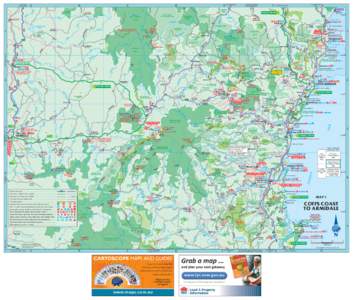
 | NAT PK Secondary road, tertiary road, unsealed............................................................. SF 655 ComaraDocID: 15DDX - View Document |
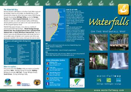
 | REGIONAL MAP_BELLO FLYERS_artworkDocID: 15BFl - View Document |
 | www.bushwalking.org.au/~armidale phoneIssue No 8 December 2006 Labour Day weekend 30th September - 2nd October, 2006. Washpool NationalDocID: 15uRd - View Document |
 | Microsoft Word - BRIDGES.docDocID: 11f6I - View Document |
![Scenic Dr 19 bro.qxp[removed]:46 AM Scenic Dr 19 bro.qxp[removed]:46 AM](https://www.pdfsearch.io/img/ef670c358cb0e15be7bbef2cf9472ee9.jpg) | Scenic Dr 19 bro.qxp[removed]:46 AMDocID: 10Q80 - View Document |
 REGIONAL MAP_BELLO FLYERS_artwork