<--- Back to Details
| First Page | Document Content | |
|---|---|---|
 Date: 2014-11-20 06:48:48United States Department of Agriculture Physical geography Government Animal and Plant Health Inspection Service Rangeland Lambert conformal conic projection |
Add to Reading List |
 United States Department of Agriculture 2009 Rangeland Grasshopper Hazard Wyoming
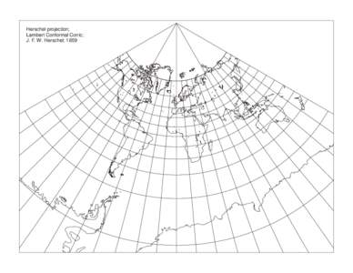


 Department of Geography, The Hebrew University of Jerusalem, Israel **) International Institute for Geoinformation and Earth Observation, Enschede, Th")
